Amanohashidate map: Monju, Fuchu, Miyazu and Ine by area
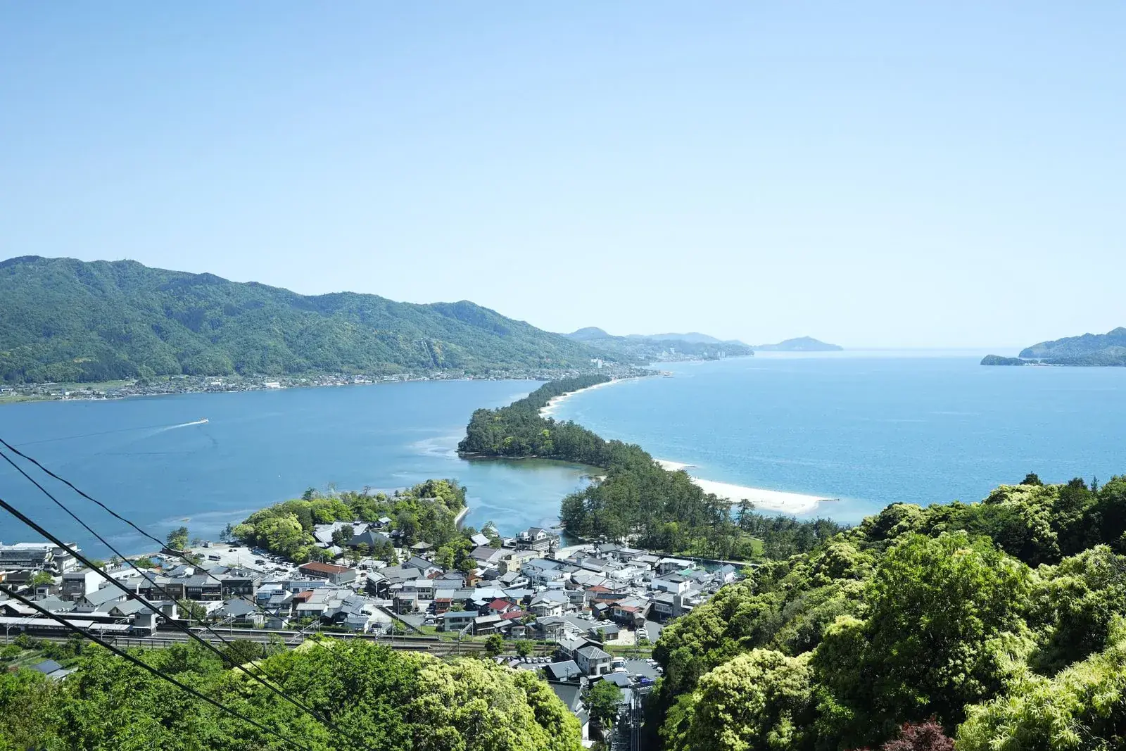
The official address is Monju, Miyazu City, Kyoto Prefecture, inside the Tango-Amanohashidate-Oeyama Quasi-National Park4.
Interactive street map of the places in this guide. It loads when you scroll here; every place is also in the numbered list below.
Street map of the places in this guide, numbered as in the list below. Tap a pin for Google Maps and directions.
Pins at each place's Google Maps location.
Street map: map data © OpenStreetMap contributors; tiles by OpenFreeMap.
Attractions
- Amanohashidate Viewland Google Maps
- Chionji Temple Google Maps
- Monju Google Maps
- Amanohashidate Chairlift and Monorail Google Maps
- Tango-Amanohashidate-Ōeyama Quasi-National Park Google Maps
- Crotch-viewing Platform Google Maps
- Isoshimizu Google Maps
- Amanohashidate Kasamatsu Park Google Maps
- Motoise Kono Shrine Google Maps
- Amanohashidate Google Maps
- Amanohashidate Winery Google Maps
- Roadside Station Kyoto by the Sea Miyazu Google Maps
- Miyazu Catholic Church Google Maps
- Kanabiki Falls Google Maps
- Former Mikami Family Residence Google Maps
- Miyazu History Museum Google Maps
- Shimasaki Park Google Maps
Further out
- Ine Fishing Village Google Maps
- Ine Bay Google Maps
- Road Station Funaya no Sato Ine Google Maps
- Ineura Park Google Maps
- Funaya no Sato Observation Deck Google Maps
Places to eat and drink
- 310 Amanohashidate Google Maps
- Joujou Coffee Google Maps
- Seaside Bar Google Maps
- Hashidate Chaya Google Maps
- Cafe du pin Google Maps
- Mikamo Google Maps
- Yoshino Chaya Google Maps
- Kagoya Mizunoto Auberge Google Maps
- Kamenoan Google Maps
- Aya Google Maps
- Restaurant Ama Dining Google Maps
- Umiya Google Maps
- somewhere/cafe Google Maps
- Miyazu Old Town Hub Google Maps
- Cafe & Bar Ukigumo Google Maps
- Shot Bar Google Maps
- 114km Cafe by Umi no Kyoto Google Maps
- t.ファーム Google Maps
- Muratado Google Maps
- public Bar Y-shi Google Maps
- Ine Cafe Google Maps
- Ine Restaurant Funaya Google Maps
- Funaya Aura Google Maps
- Miyabi Ine Boathouse Cafe Google Maps
Not on the map (no checked location yet)
Finding your bearings
How the area is divided
The Amanohashidate Tourism Association groups its sights into areas, and they’re the simplest way to find your way around:
- Monju / Amanohashidate Station5, at the south end of the sandbar
- Fuchu / Kasamatsu Park5, at the north end
- Miyazu / Miyazu Station5, the town on the bay
Its sightseeing pages reach further, to Miyazu, Yosano and Ine5. The official accommodation search also lists the Kurita Peninsula6 as a separate area.
South end
Monju and Amanohashidate Station
View Land: 7 leg-view platforms9
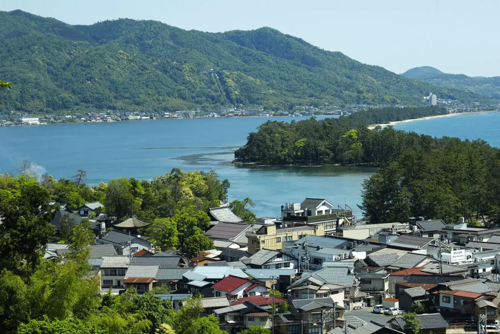
Monju is the village on the south side of the sandbar1, and the train station is here too. What you’ll find in Monju:
- Chion-ji, the Buddhist temple at the southern end7 of the sandbar
- a road bridge that swings 90 degrees4 to let ferries and barges through
- Amanohashidate View Land, on top of Mt. Monju, reached by cable car or chair lift8, with seven9 look-through-your-legs platforms
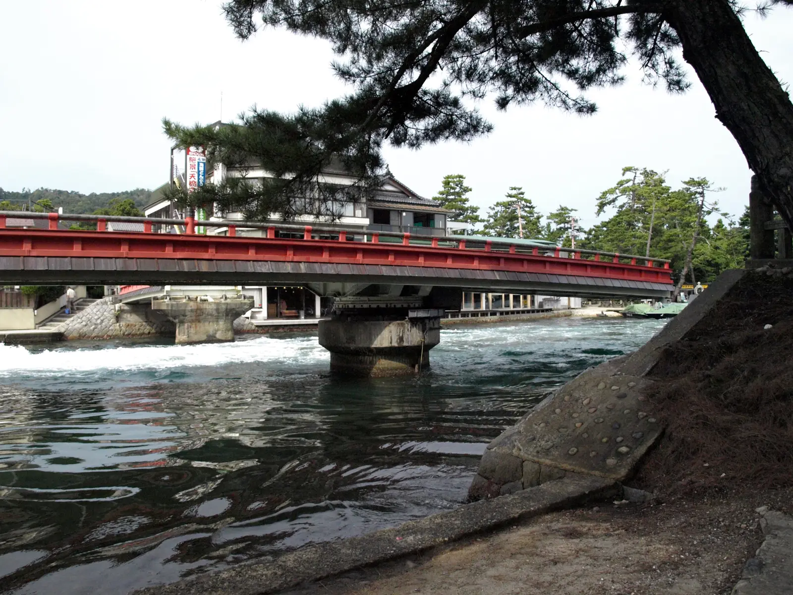
Every sight in this corner and beyond is on the page of things to do around the sandbar.
Between the two ends
The sandbar
About 3.6 km long4
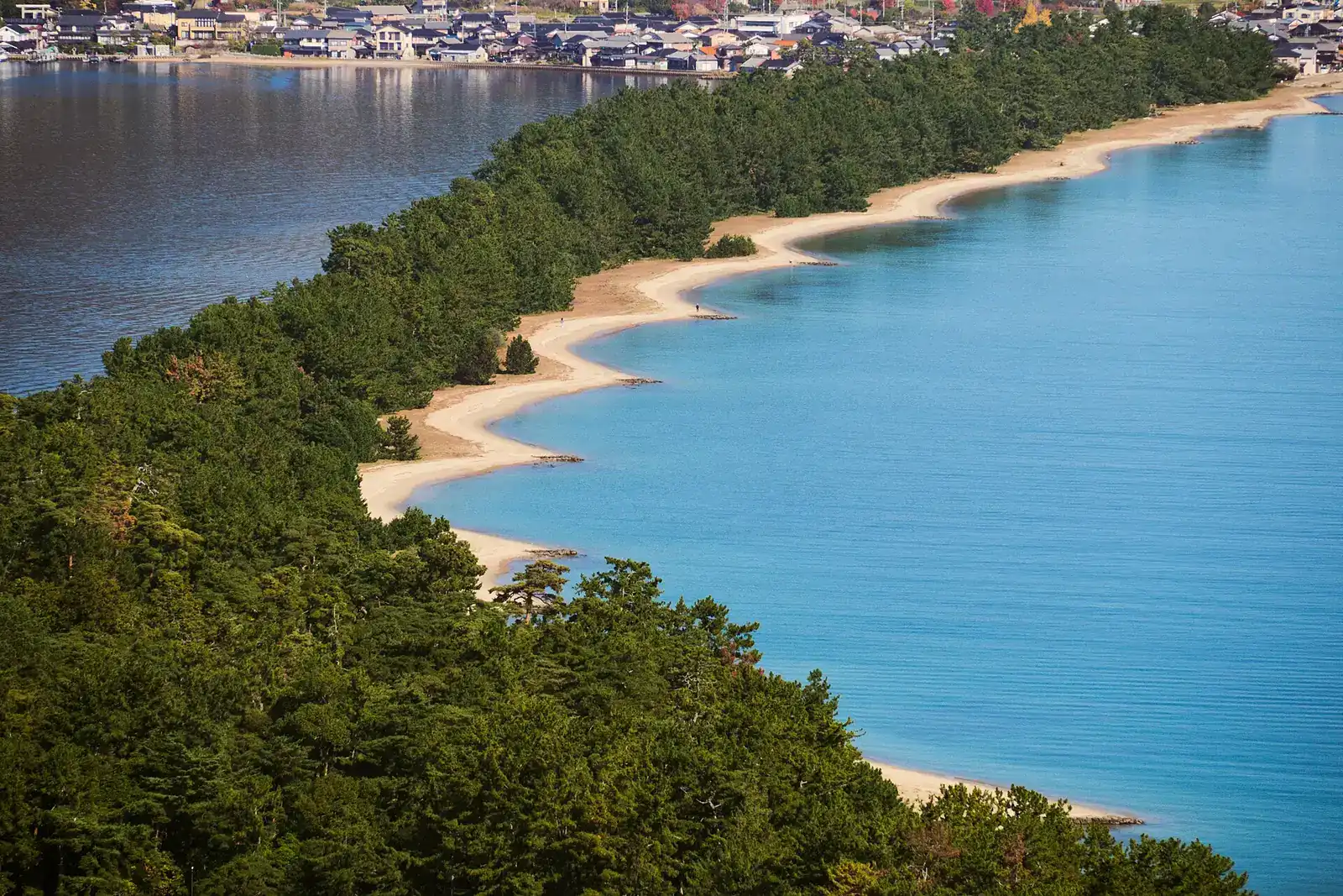
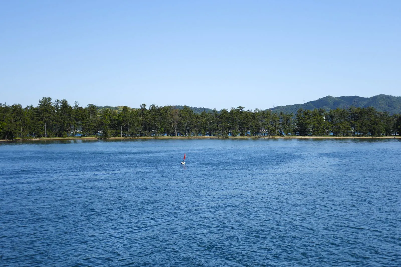
The sandbar runs about 3.6 km from Monju to Fuchu, with about 8,0004 pines and a width of 20 to 170 m11. It’s counted among Japan’s three scenic views7.
On the sandbar itself you’ll find the Amanohashidate-jinja Shrine and the Isoshimizu freshwater well4.
North end
Fuchu and Kasamatsu Park
Platform 130 m above sea level11
Fuchu is the north end of the sandbar, where National Route 17812 runs past Kasamatsu Park, Nariai-ji and Kono Shrine13. Kyoto Prefecture describes this stretch of road as a tourist area with souvenir shops and inns12.
- Kasamatsu Park: its mata-nozoki viewing platform stands 130 m11 above sea level, a cable car ride up from Fuchu Station.
- Motoise Kono Shrine: near the northern end7 of the sandbar, with its own stop on the bus line to Ine.
- Nariaiji Temple: halfway up Mt. Nariai5, looking down on the sandbar.
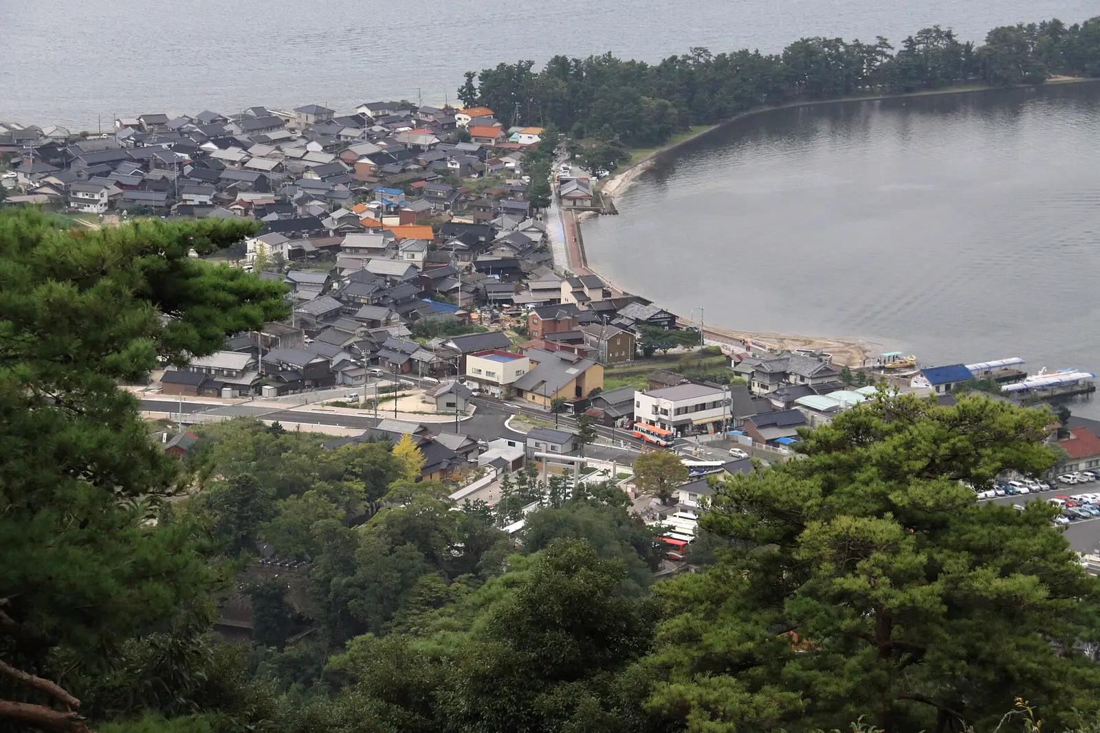
For the ride up and what’s at the top, see visiting Kasamatsu Park and its viewpoint.
The town on the bay
Miyazu town
One stop from Amanohashidate Station2
Miyazu is the town on the bay and the rail stop before Amanohashidate: limited express services and some rapid trains continue one stop further2 from Miyazu Station to Amanohashidate Station.
Sightseeing boats and motorboats run between Miyazu, Monju and Fuchu, and the official site suggests local route buses14 for getting around. The town itself is covered in Miyazu, the gateway to Amanohashidate.
Up the coast
Ine and the Tango Peninsula
Bus from the station: about 50 min3
Ine is the area known for its funaya boathouses14, and the official tourism site’s advice is to go there by bus. The coast road, National Route 17815, runs on through Yosano, Ine and Kyotango13.
The Tankai bus from Amanohashidate Station takes about 50 minutes, and the Ine Bay cruise pier is right in front of the Ine-wan Meguri/Hide3 stop.
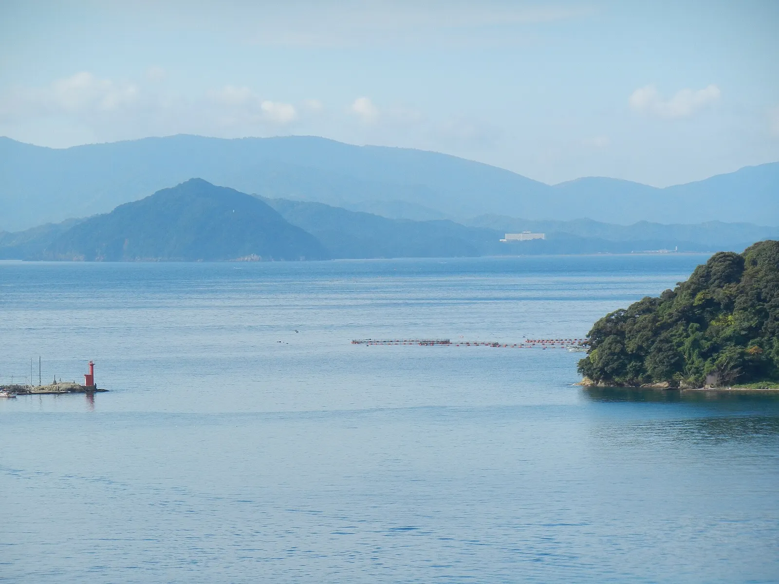
The boathouses and the boat trip are covered in visiting Ine no Funaya by bus and boat.
Boats, bikes and cable cars
Getting between the areas
Boats, bikes, cable cars and buses link the areas, and none of the hops takes long.
Fuchu to Monju by boat: 12 min14
| Route | How | Time | Source |
|---|---|---|---|
| Fuchu to Monju | Sightseeing boat | 12 minutes | amanohashidate.jp (official) |
| Along the sandbar | Rental bicycle | About 20 minutes | amanohashidate.jp (official) |
| Along the sandbar | On foot | Over 50 minutes one way | amanohashidate.jp (official) |
| Fuchu Station to Kasamatsu Park | Cable car | About 4 minutes | amanohashidate.jp (official) |
| Base station to View Land | Monorail | About 8 minutes | amanohashidate.jp (official) |
| Amanohashidate Station to Ine | Tankai bus | About 50 minutes | VELTRA (booking agent) |
| Motoise Kono Shrine stop to Ine-wan Meguri/Hide | Tankai bus | 26–27 minutes | Tankai (operator) |
amanohashidate.jp (official); VELTRA (booking agent); Tankai (operator)
Small motorboats also carry passengers between the north and south sides, and the villages at either end are easy to walk around1 because distances are short.
Arriving
Getting there from Kyoto
Amanohashidate is about 2 hours17 from Kyoto by express train, and the bus takes a little longer.
Express train from Kyoto: about 2 hours17
| How | From | Time |
|---|---|---|
| Express train | Kyoto |
about 2 hours17 |
| Bus | Kyoto |
about 2 hours 20 minutes17 |
| Rental car | Central Kyoto City |
approximately two hours18 |
| Car to Miyazu | Kyoto city |
about ninety minutes19 |
| Car to Ine | Kyoto city |
about two hours19 |
Drivers heading for Miyazu or Ine leave the Kyoto-Jukan Expressway at the Miyazu-Amanohashidate Interchange19. From there it’s about 10 minutes20 to Amanohashidate along National Route 1784. For Amanohashidate Shrine, use the parking lot near Chion-ji Temple4.
Coming from Osaka instead? See getting to Amanohashidate from Osaka for the trains and buses.
Photos: Wikimedia Commons and Pexels. Authors and licences: image credits
Checked against 20 sources · last checked October 2026
- Wikivoyage · checked October 2026
- Wikipedia · checked October 2026
- VELTRA (booking agent) · checked October 2026
- kyototourism.org (official) · checked October 2026
- amanohashidate.jp (official) · checked October 2026
- amanohashidate.jp (official) · checked October 2026
- Wikipedia · checked October 2026
- kyototourism.org (official) · checked October 2026
- Amanohashidate View Land (operator) · checked October 2026
- Amanohashidate View Land (operator) · checked October 2026
- Nippon.com (news) · checked October 2026
- pref.kyoto.jp (official) · checked October 2026
- Wikipedia · checked October 2026
- amanohashidate.jp (official) · checked October 2026
- pref.kyoto.jp (official) · checked October 2026
- Tankai (operator) · checked October 2026
- amanohashidate.jp (official) · checked October 2026
- kyototourism.org (official) · checked October 2026
- Japan National Tourism Organization (japan.travel) (official) · checked October 2026
- westjr.co.jp (travel guide) · checked October 2026
Page history · last changed 26 October 2026
- First written